
- /
The Monterey Peninsula's Best Hiking and Walking
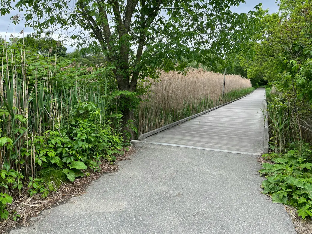
The Monterey Peninsula's trails are one of the least-discussed reasons people stay here long after they expected to leave. Visitors encounter the coastline and the scenery. Residents build a daily relationship with specific paths, specific views, and the specific quality of light on the water at a particular hour. This guide is written for the latter — for buyers who want to understand what regular access to this landscape actually looks and feels like before they decide whether to live here.
The routes below are organized by character rather than difficulty. Most are accessible to anyone in reasonable health. The question is not how hard they are but what experience they provide.
The Coastal Walks
Ocean View Boulevard, Pacific Grove
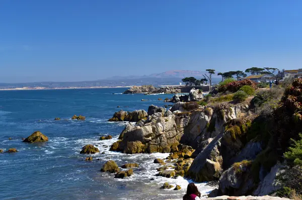
The most consistently beautiful daily walk on the Monterey Peninsula runs along Ocean View Boulevard in Pacific Grove, from Lover's Point west along the coastal bluff toward Asilomar. The path traces the shoreline past tidepools, through stands of cypress, and along stretches of open ocean where sea otters float in the kelp offshore. The walk from Lover's Point to Asilomar State Beach covers roughly three miles one way and can be extended further along the Asilomar Dunes area. It is flat, exposed to the weather, and completely spectacular. Pacific Grove residents walk sections of it every morning. The ones who have lived here for decades have not gotten tired of it.
17-Mile Drive on Foot, Pebble Beach
Sections of the 17-Mile Drive are accessible to pedestrians and cyclists, though the full route is long enough that most residents walk segments rather than the complete loop. The stretch from the Lone Cypress to Stillwater Cove, passing the ocean-view points that define Pebble Beach's reputation, is among the most dramatic walking anywhere in California. Early morning before the gate opens to vehicles is the residents' preferred hour.
Carmel Beach and the South Coastal Trail
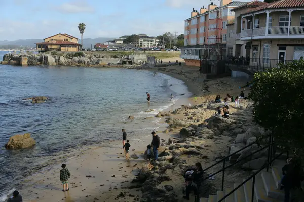
Carmel Beach itself, a broad white sand crescent at the foot of Ocean Avenue, is one of the more social walking destinations on the Peninsula — dogs are welcome off-leash, and the beach tends to have a mix of residents and visitors throughout the day. The coastal trail continuing south from the beach toward Carmel Point and the mouth of the Carmel River offers a quieter extension, with views back toward the bay and the headlands.
Point Lobos State Natural Reserve
Point Lobos is in a category of its own. The reserve sits just south of Carmel on Highway 1 and encompasses granite headlands, cove beaches, cypress forest, and open ocean in a concentration that Jacques Cousteau reportedly called one of the greatest underwater parks in the world. The above-water trails are equally extraordinary.
The Sea Lion Point Trail, the Bird Island Trail, and the North Shore Trail together cover the reserve's most dramatic coastal terrain in loops that run from one to three miles. The Cypress Grove Trail winds through one of only two naturally occurring Monterey cypress groves on earth. The reserve charges a modest entry fee and limits the number of vehicles inside at any time, which keeps the experience from feeling crowded even on busy weekends.
Residents who live within driving distance of Point Lobos and visit regularly describe it as one of the things that most consistently reinforces their decision to live here. It does not diminish with familiarity. If anything it deepens.
The trails here are not weekend destinations. For residents, they are part of what Tuesday looks like. That is a different relationship with a landscape than visiting it.
The Forest Trails
Jack's Peak County Park
Jack's Peak is the highest point on the Monterey Peninsula, rising to approximately 1,068 feet above sea level in the hills above Monterey. The county park contains several miles of forested trails through Monterey pine and oak woodland, with views from the summit that take in the full sweep of Monterey Bay on clear days. The trails are quiet, well-maintained, and almost entirely free of the tourist traffic that characterizes the coastal routes. Residents who prefer a forested walk to a coastal one come here regularly and share the trails primarily with other residents and their dogs.
Garland Ranch Regional Park, Carmel Valley
Garland Ranch is the most extensive trail system in the immediate Peninsula area, covering more than 4,000 acres of Carmel Valley terrain from the valley floor up into the Santa Lucia Mountains. The lower trails along the Carmel River are flat and accessible year-round. The upper trails climb through oak woodland and chaparral to ridgeline views that extend from the Pacific to the interior mountains. The full elevation gain to the Snively's Ridge area is significant — several hundred feet over a few miles — and rewards the effort with one of the more dramatic panoramas available on foot in this part of California. Carmel Valley residents use Garland Ranch the way Pacific Grove residents use Ocean View Boulevard: as a place they return to so regularly that it becomes part of how they understand the landscape they live in.
A Few Practical Notes for New Residents
The coastal trails are most peaceful on weekday mornings, particularly in summer when weekend and tourist traffic is heavier. The marine layer burns off on the coast at different times depending on the season and the specific location — Pacific Grove and Carmel beaches are often fogged in until late morning during summer, while the trails at Point Lobos and Garland Ranch may be clear earlier. Planning the walk around the fog is a skill that residents develop naturally over their first year.
Dogs are welcome on most Monterey Peninsula trails but are restricted or prohibited in Point Lobos State Natural Reserve and some sections of Asilomar. Check current regulations before bringing a dog to any reserve or state park.
The trails here are genuinely usable year-round. The Monterey Peninsula's mild climate means that even January mornings produce conditions that most California coastal residents would consider excellent walking weather. This is one of the less-discussed benefits of living here, and one that becomes more apparent over time.
If you are considering a move to the Monterey Peninsula and want to understand how these trails fit into daily life in specific neighborhoods, The Ruiz Group is happy to have that conversation. The proximity to particular trails and reserves varies significantly by neighborhood and is worth understanding before a search narrows.
Related reading: What Nobody Tells You Before Moving to the Monterey Peninsula · Pacific Grove vs. Carmel vs. Monterey: Which Town Fits Your Life? · The Social Life of the Monterey Peninsula: How New Residents Build Community
Categories
Recent Posts




GET MORE INFORMATION
